Inspiring communities through geography: Unleashing the potential of location data to transform Africa. Reinventing the way we use location data to drive innovation and development in Africa.
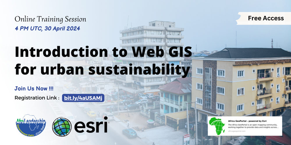
AfroLeadership and Esri are pleased to invite you to an exciting webinar on “Introduction to Web GIS for Urban Sustainability“. This event is part of the collaboration between these two entities to promote geospatial data in Africa through AfricaGeoportal, an innovative platform to facilitate access to and use of geospatial data in Africa. Join us on 30 April 2024 from 4 Pm UTC to discover how Geographic Information System (GIS) technologies can help create sustainable cities and solve complex urban challenges.
During this interactive webinar, you will have the opportunity to explore the fundamentals of Web GIS and learn how it can be used to support urban sustainability. Experts from Esri, the world leader in GIS, will share their expertise and guide you through the different features and applications of Web GIS.
Whether you are an urban planning professional, a policy maker, or simply interested in geospatial technologies, this webinar will provide you with the necessary foundation to understand and exploit the potential of Web GIS in the context of urban sustainability.
Join us for this exciting online event and discover how Web GIS can help create smart, resilient and sustainable cities.
Register now to reserve your place!
